Moisture Mapping
The systematic documentation of moisture content readings across a structure during water damage assessment. Creates a visual or data record showing where moisture exists and how it migrates, used to plan drying and track progress.
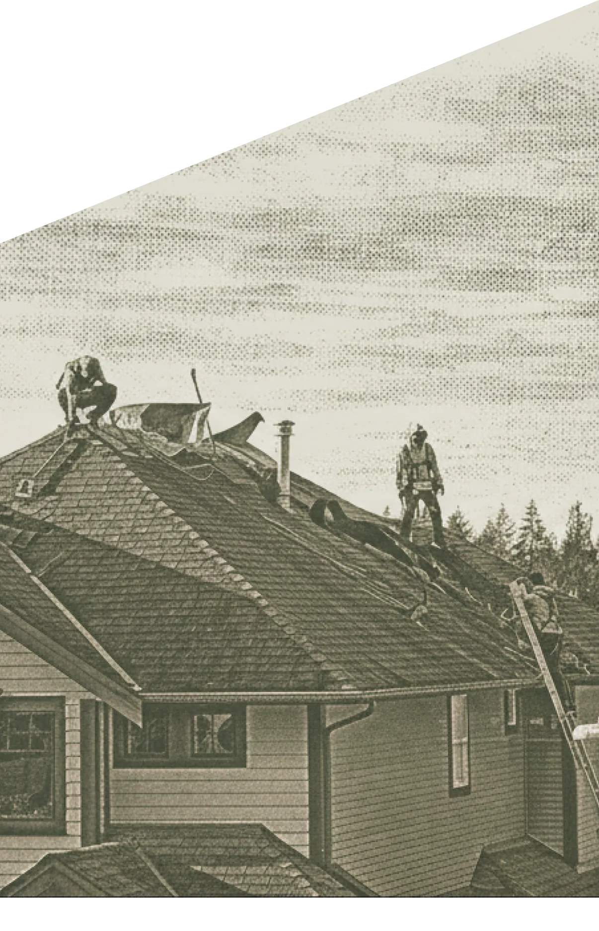
Moisture mapping is the systematic documentation of moisture content readings across a water-damaged structure. It turns individual meter readings into a useful pattern that guides mitigation and verifies completion.
How Mapping Works
The technician moves through the affected space with a moisture meter, taking readings at predetermined points — along walls, at floor junctions, inside cabinets, at likely water migration paths. Each reading is logged with its location and depth. A diagram of the space, either paper or digital, records the readings visually. Repeated mapping over the drying period shows progression from initial wet readings to dry end-state readings.
What Mapping Reveals
A good moisture map often surfaces hidden damage. Water that traveled through wall cavities or migrated along subfloors is visible through elevated readings even when the affected area looks dry on the surface. Mapping helps the restoration team see the full scope of the loss, rather than relying on what is visible at first look.
Mapping and Documentation
Moisture maps support the mitigation invoice by showing the objective extent of damage and the path from wet to dry. Daily readings tracked against the initial map document the drying progression. At completion, final readings matching the documented drying goal verify that restoration is complete. This evidence trail makes the invoice defensible and the claim faster to close.
Frequently asked questions
Using a moisture meter, the technician takes readings at defined points throughout the affected area. Each reading is recorded on a diagram of the space, showing the location, depth, and moisture content. Some software tools create digital moisture maps automatically from connected meters and sensors.
It shows the pattern of moisture distribution in the structure. High readings cluster where water intruded and absorbed. The map often reveals hidden moisture behind walls or under floors that would not be visible without measurement. This pattern guides equipment placement and scope decisions.
Not universally, but it is considered best practice on water damage claims of any significance. A documented moisture map shows the adjuster the extent of the loss, supports the mitigation scope, and verifies the drying work later. Contractors who skip mapping often have harder time-defending scope.