Satellite Measurement
A roof measurement method that uses high-resolution aerial or satellite imagery combined with software algorithms to calculate roof area, slope, penetrations, and edge lengths without requiring physical access to the roof.
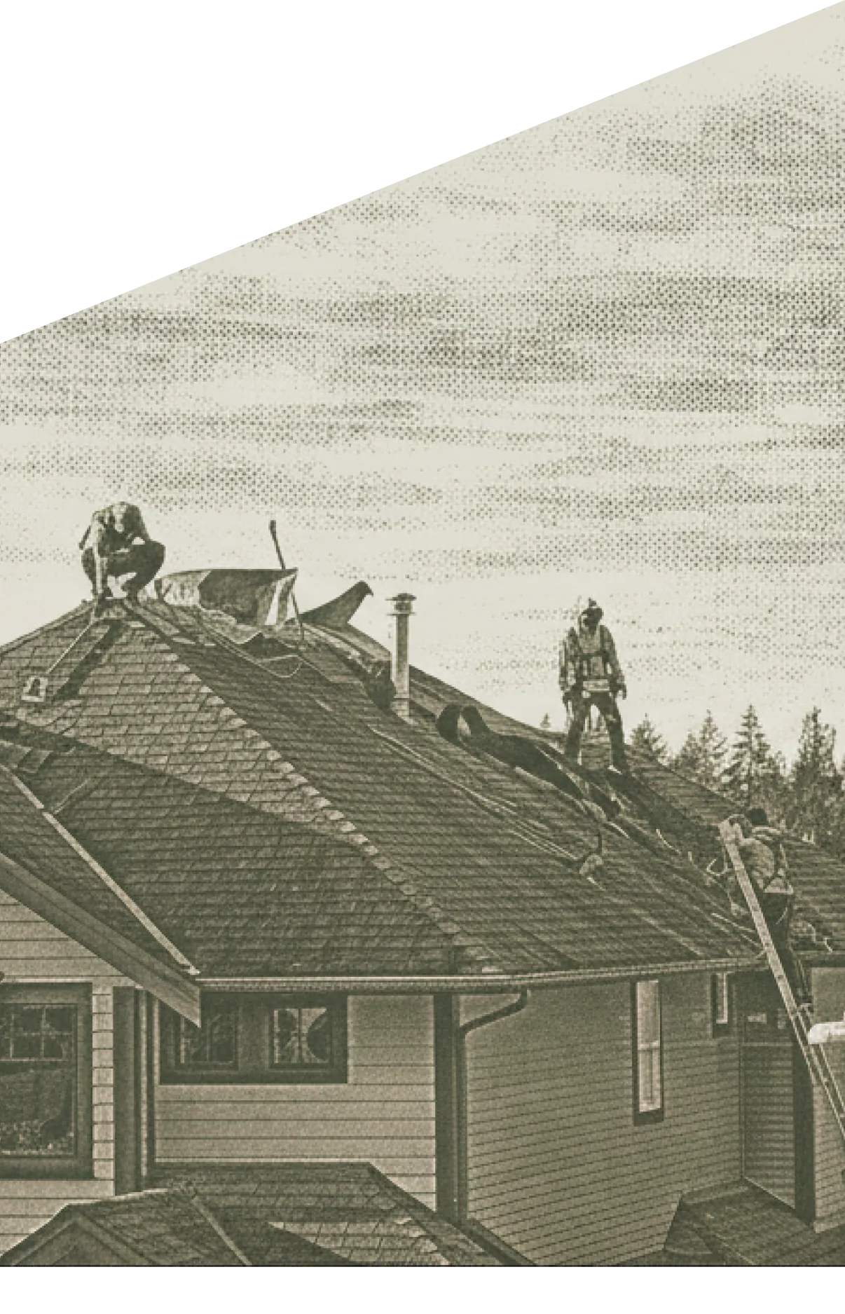
What Is Satellite Measurement
Satellite measurement is a technology-driven roof measurement method that uses high-resolution aerial or satellite imagery processed by specialized software to calculate roof area, pitch, edge lengths, penetrations, and other dimensions without anyone physically climbing onto the roof. Services like EagleView, GAF QuickMeasure, and Roofr provide detailed measurement reports that are accepted by most insurance carriers and can be imported directly into Xactimate.
What a Satellite Measurement Report Includes
A standard satellite measurement report includes total roof area in squares, area broken down by facet and slope, pitch measurement for each facet, linear feet of ridge, hips, valleys, eaves, and rakes, penetration count and locations, and a suggested waste factor based on roof complexity. Many reports also include a 3D model of the roof that can be rotated and viewed from any angle. This data provides everything needed to populate an Xactimate roof estimate.
Satellite Measurement in Insurance Claims
Satellite measurements are increasingly used to resolve measurement disputes between contractors and adjusters. When the contractor's physical measurement and the adjuster's measurement disagree, a satellite measurement report provides an independent third-party reference point. Carriers often order their own satellite measurement as part of the desk review process. If your measurement differs significantly from the adjuster's, ordering a satellite measurement report strengthens your position and provides objective data to support the supplement.
Frequently asked questions
Modern satellite measurement reports are typically accurate to within 2-5% of physical measurements. The accuracy depends on image resolution, roof complexity, and the algorithm used. Most measurement services provide area, pitch, edge lengths, penetration counts, and waste factors. For insurance claims, satellite measurements are widely accepted by carriers and adjusters.
Yes. Many satellite measurement services export data in formats compatible with Xactimate, including roof area by slope, ridge length, hip length, valley length, eave and rake lengths, and penetration counts. This data populates the Xactimate sketch and line items directly, reducing manual measurement errors.